The wetter half blinked first—Upper Colorado shed 4.2 cubic miles of groundwater in 2020–22, nearly twice the Lower Basin
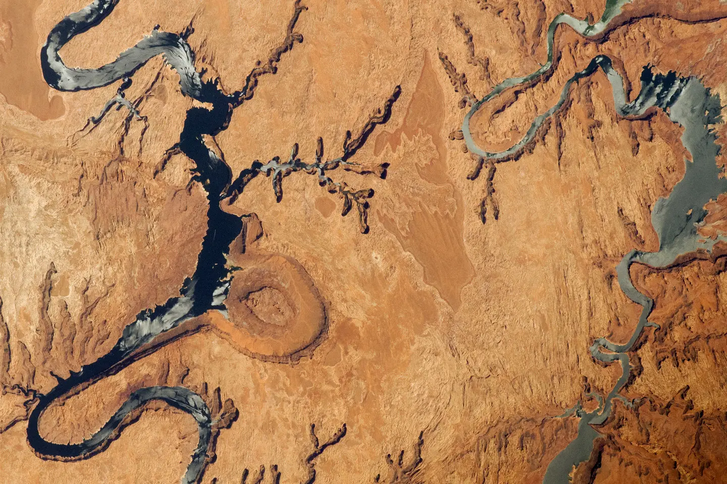
By late summer, the West’s giant savings accounts—Lake Mead and Lake Powell—were at record lows. That was the headline moment. The deeper shock came from underground: during the most intense stretch of drought from 2020 to 2022, the Upper Colorado River Basin lost almost twice as much groundwater as the Lower Basin, researchers reported. The finding lands hard because the Upper Basin, fed by Rocky Mountain snow, has long worn the reputation of being the more resilient half.
The study, published in Water Resources Research (https://doi.org/10.1029/2025wr041695), tallies two decades of change and then zeroes in on the drought years. It is not a story about one bad season; researchers said groundwater depletion has been a persistent problem in the basin over the past two decades, and losses accelerated in 2019. Esther Oyedele, the study’s first author, put the recent spike down to the three-year drought that began in 2020.
By the numbers: who lost how much
Between 2004 and 2023, the Colorado River Basin lost 14 cubic miles (58.3 cubic kilometers) of groundwater, according to the researchers. In the 2020–2022 window, the split between the basin’s two halves was stark: the Upper Basin lost around 4.2 cubic miles (17.5 cubic kilometers), while the Lower Basin lost about 2.3 cubic miles (9.4 cubic kilometers). That “almost twice as much” contrast is the surprise, and it rearranges assumptions about which side is most exposed when the surface system runs short.
The asymmetry matters for people as well as aquifers. Oyedele noted that roughly 30 million of the 40 million people who depend on the river live in the Lower Basin. Those demands, layered on lower natural recharge and higher evaporation in the south, have long made the Lower Basin the expected hotspot. Seeing the Upper Basin shed more groundwater during the drought suggests vulnerability is now shared differently than managers and modelers had assumed.
A river that carries 35% less than it used to
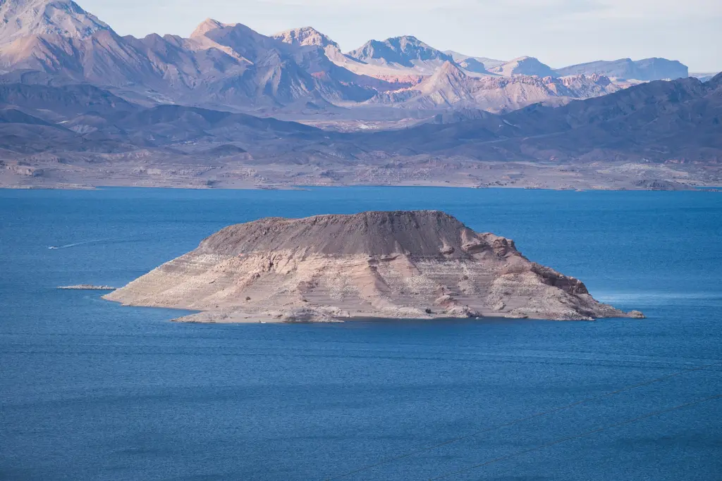
The river’s surface story sets the backdrop. Researchers reported that the Colorado’s flow is now 35% less than it was on average in the 20th century. This is the combined product of warming and the river’s longstanding overallocation. In that context, the study reported that Lake Mead and Lake Powell—keystones of the system—dropped to record lows in August, a visible sign of a water budget that no longer balances.
Groundwater had been the quiet buffer. Researchers said depletion has persisted for two decades, but the drought that began in 2020 was the principal cause of the recent acceleration, according to Oyedele. When the surface cupboard is bare, the pump switch flips more often; the numbers above show how quickly the backstop can erode.
Why the wetter half blinked first
Oyedele said the Lower Basin naturally has less groundwater recharge than the Upper Basin, so the new pattern is not a simple north–south mirror. The Upper Basin’s higher historical recharge also sets up a larger fall when drought bites. That combination helps explain how the Upper Basin could post the bigger loss during 2020–2022 even though the Lower Basin hosts far more people and heat.
The result challenges a comfortable storyline. Oyedele said the Upper Basin is more vulnerable to drought than experts had thought. If that holds in future dry spells, it would force a rethink of how managers divvy up drought risk between river releases and wells in each half of the basin.
What we still don’t know
It’s unclear why the deficit was so much higher in the Upper Basin than in the Lower Basin during the 2020–2022 period. The study’s topline is solid—the measured losses and their contrast—but the mechanism behind the split is not settled. Future groundwater responses will depend on precipitation, snowmelt, water use and management decisions, Oyedele said, and those ingredients do not line up the same way every drought.
The deeper cut
Units and magnitudes: reading cubic miles against percent flow
Hydrologists keep two dashboards here: storage and flux. The storage ledger—groundwater—was down 14 cubic miles (58.3 km3) over 2004–2023. The flux ledger—river discharge—runs 35% below the 20th-century average. Those numbers talk to each other, but not in a one-to-one way. A cubic mile of storage loss does not map cleanly onto a specific reduction in annual flow, because the conversion runs through aquifer properties (storage coefficients, transmissivity), timing (seasonal snowmelt versus multi-year drawdown), and human withdrawals. In a gaining reach, head declines can flip small portions of streamflow into infiltration; in a losing reach, sustained pumping can capture baseflow that would otherwise appear as discharge. The study’s contrast—4.2 versus 2.3 cubic miles in the Upper and Lower Basins during 2020–2022—thus signals different integrated responses of aquifer–river coupling under stress, not just different totals of pumping. Parsing that further would require separating changes in recharge from changes in extraction and attributing baseflow capture, tasks that typically demand dense well networks and joint inversion with surface water budgets. The headline lesson for planners is that storage cuts can be large on drought timescales even while the river’s percent decline looks deceptively abstract.
Managing one connected system, not two silos
Oyedele argued for managing groundwater and surface water together. That is not a semantic tweak; the study’s numbers show how both sides of the ledger move during shortages, and how relying on groundwater as a limitless backup is a bet the basin has already been losing.
With water scarcity described as alarming and the reservoirs at record lows in August, the math will keep tightening. Continued warming, changes in snowpack, prolonged drought and increasing water demand could add more pressure across both basins, Oyedele said. Whether the next drought repeats the same Upper–Lower contrast, the budget constraint remains the same.
The paper: Contrasting Groundwater Response to Surface Water Shortages in the Upper and Lower Colorado River Basins (Water Resources Research, 2026)
Sources: Surprising new pattern of groundwater loss may signal a turning point for the Colorado River Basin (www.livescience.com)
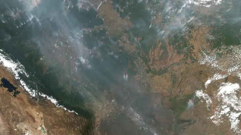
Images: Cover: NASA's Earth Observatory / Wikimedia Commons (CC BY 2.0); Figure 1: Christian David / Wikimedia Commons (CC BY-SA 4.0)
How this article was made: Everyman Science uses AI tools to structure, format and optimise its articles, and occasionally to produce illustrations where no free photograph exists. The reporting these articles are based on is human-produced and cited above. Spotted an error? Write to [email protected] and we will correct it. — The editors How we work.





Science desk team of Everyman Science, curating and reporting on the day’s most significant developments in research, space exploration, and technology.