The plane that follows farm air with more than a dozen sensors, flying Colorado and Texas now and the Midwest and California in 2027
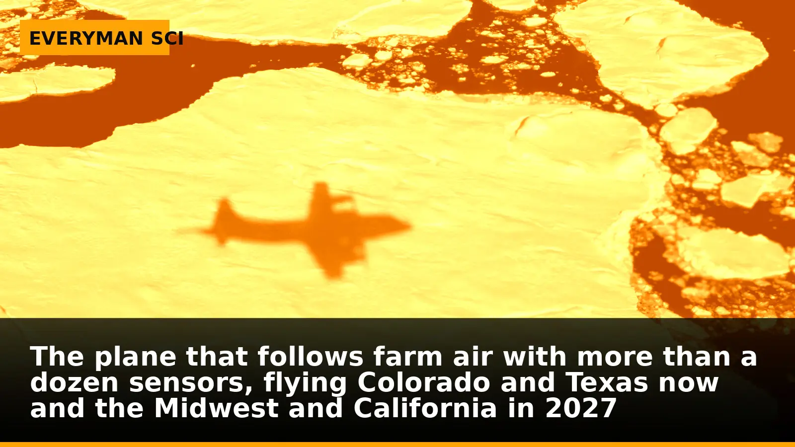
The airplane flies low and straight over patchwork fields, then turns and does it again. This is not crop-dusting. It’s the first series of flights for FarmFlux, a new effort to watch what rises from agricultural lands into the air above them—and how it changes once it gets there.
On board are more than a dozen sensors, tuned to pick out ozone, methane, ammonia, particulates, and other pollutants. The premise is simple and overdue: agricultural emissions are an important and understudied part of Earth’s land–atmosphere system. The execution is the hard part, and that’s what these low-altitude passes over Colorado are built to test.
A mission built to follow the mix, not just the source
FarmFlux is designed to measure not only what farms emit, but how those plumes interact with the atmosphere overhead. By flying instruments together, the team can sample multiple gases and tiny airborne particles at the same time. That joint view is how you tell whether substances travel together, react, or peel off in different directions as the air moves.
The multi-sensor approach matters because farm air is crowded. Methane and ammonia can rise from fields and animal operations; particulates can billow from soil and activity; ozone is among the pollutants tracked aloft. Getting them in the same frame lets scientists link patterns in space and time rather than guessing from one pollutant at a time.
Who’s in the cockpit and at the consoles
The mission is jointly led by NASA’s Goddard Space Flight Center in Greenbelt, Maryland; Colorado State University; and Boston University. That shared leadership reflects what FarmFlux is trying to do: bring atmospheric science and agricultural expertise into the same aircraft and the same data stream.
The collaboration also anchors the work in the regions where the team will fly. Colorado State’s home turf is one of the early testbeds, and broader U.S. farming regions are on the itinerary next.
From Colorado to Texas, then out over the nation’s breadbaskets
After Colorado, additional low-altitude research flights are scheduled over farmland in Amarillo, Texas, from late October to early November. Those sorties extend the campaign into a different landscape and season, adding contrast to the Colorado flights.
For the March to July 2027 growing season, the project scales up with research flights using a NASA P-3 Orion aircraft in the Midwest and California’s Central Valley, with a focus on croplands. That run covers two of the country’s most productive farm regions at the height of activity, when the air above them is busiest.
Why this matters for the air we all share
What leaves a field rarely stays a neat, isolated plume. It mixes, transforms, and travels. Without co-located measurements of several pollutants, it’s easy to miss those interactions—or to misread where a given pollutant came from and where it’s headed.
That’s not an abstract problem. Environmental policies aimed at cleaner air and more sustainable agriculture need to be aimed at what actually happens outdoors, not just at what’s emitted at the edge of a field. By mapping the real interplay aloft, FarmFlux is positioned to give regulators and producers a clearer picture of which practices matter most for air quality.
The deeper cut
How do you untangle a moving plume?
Air above farmland is a fast-changing boundary layer where sources, chemistry, and turbulence all mix on similar scales. If you only measure one constituent, you can’t separate source strength from transport: a high reading may mean a strong source nearby, or a modest source upwind that just got concentrated by a gust. Flying more than a dozen sensors together helps constrain that ambiguity. If methane, ammonia, and particulates rise and fall in step across a flight leg, that coherence suggests co-located or coupled sources; if one spikes while the others don’t, you’re likely seeing a different process or timing. Repeated, low-altitude transects build a kind of moving cross-section—multiple cuts through the same air at short intervals—so gradients can be distinguished from instrument drift. Stitch those transects to wind fields and you can back out fluxes more reliably than with a single-species measurement. The payoff isn’t just a catalog of concentrations; it’s a map of relationships that pins down what travels together, where it mixes, and when the atmosphere starts to rewrite the signature of what left the ground.
What we don’t know yet—and why that’s fine
These flights are about getting the observations first. No one has yet published results from the Colorado passes, the Amarillo sorties, or the P-3 Orion campaign scheduled for the 2027 growing season. The point, for now, is to collect the raw, co-registered measurements across different regions and seasons.
That means open questions stay open a little longer: which combinations of farming activity and weather line up with the biggest plumes; which pollutants tend to move together; how those patterns differ between the Midwest and California’s Central Valley. The mission is built precisely to turn those unknowns into datasets that can be compared and argued over with evidence.
From flight lines to farm lines
What happens aloft eventually lands on the ground—in guidance, incentives, and day-to-day decisions. With clearer, multi-pollutant pictures of what rises from croplands and animal operations, policymakers can target measures where they do the most good, and producers can see which practices show up plainly in the air.
FarmFlux won’t write the rules. But by flying low and looking wide—from Colorado to Texas this fall, and across the Midwest and California’s Central Valley in the 2027 growing season—it aims to give everyone arguing about those rules a common set of measurements to point to.
A campaign that matches the scale of the problem
Agricultural emissions are not a side show in Earth’s atmosphere. They’re a material piece of the system—and an understudied one. FarmFlux’s multi-region, multi-season flight plan is a practical answer to that gap: measure several pollutants together, across different farm belts, when activity peaks.
It’s a straightforward mandate, spread across institutions that know the air and the ground. Whether you care most about what a ranch does, what a row crop leaves behind, or what your local air reads in summer, the first step is the same: fly the lines, gather the data, and see what the plumes are made of.
Sources: NASA Aircraft to Make Low-Altitude Research Flights Over Colorado (www.nasa.gov)
Images: Cover: Everyman Science (illustration); Figure 1: NASA Goddard Space Flight Center from Greenbelt, MD, USA / Wikimedia Commons
How this article was made: Everyman Science uses AI tools to structure, format and optimise its articles, and occasionally to produce illustrations where no free photograph exists. The reporting these articles are based on is human-produced and cited above. Spotted an error? Write to [email protected] and we will correct it. — The editors How we work.





Science desk team of Everyman Science, curating and reporting on the day’s most significant developments in research, space exploration, and technology.