One Antarctic radar cut errors and swung atmospheric river moisture by 30%
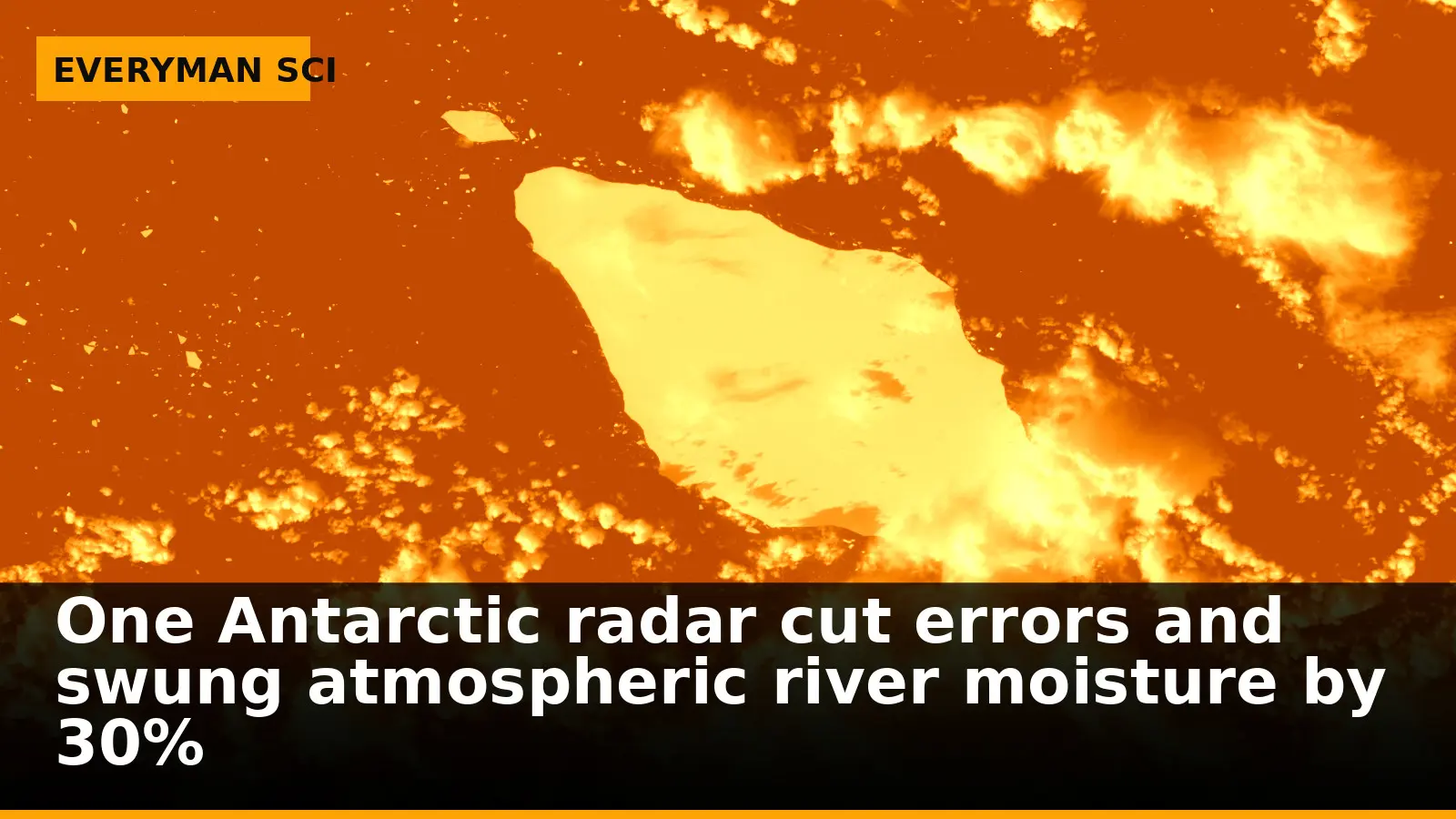
Stand on the edge of the Antarctic plateau on a winter night and the air can look empty—just darkness, wind, and snow. To a weather model, that emptiness is a problem. The Southern Hemisphere has far fewer routine measurements than the Northern, and forecasts there are generally less accurate. That gap matters most when long, narrow plumes of moisture—atmospheric rivers—aim for Australia, New Zealand, South America or even Antarctica, driving heavy rain, snow and strong winds.
A team in Japan asked a simple, testable question: if you add continuous Antarctic wind measurements to the mix, do the forecasts of those rivers get better? In a study in Scientific Reports, they say yes—and by more than a rounding error.
Why a polar radar matters far from the pole
The Program of the Antarctic Syowa Mesosphere–Stratosphere–Troposphere/Incoherent Scatter Radar—PANSY for short—continuously measures wind conditions in the atmosphere. That word continuously is the crux. Instead of occasional soundings, the radar supplies a steady stream of winds over one of the world’s most data‑sparse regions, feeding the starting conditions that numerical models use to project the next hours and days.
Because downstream weather depends on what the model believes is happening over the Southern Ocean and Antarctica, better winds there can propagate into better forecasts farther north. The study highlights the general point: strengthening observations in data‑sparse regions pays off beyond their borders.
The experiment: with and without Antarctic winds
The researchers compared weather analyses and forecasts generated with and without assimilated PANSY radar observations during the 2022 austral winter. They focused on seven atmospheric river events over the Southern Hemisphere midlatitudes to assess the radar’s added value.
This A/B framing—identical forecast systems, toggling only the Antarctic radar data—lets any differences be traced to the presence or absence of those winds, not to a change in model or a lucky case selection.
By the numbers: a 30% swing where it counts
Across the seven cases, forecasts that included the radar observations showed lower prediction errors than those based only on conventional observations. In a result that goes straight to impacts, the presence or absence of PANSY radar observations produced a difference of more than 30% in atmospheric river moisture transport. For a reader’s gut: a 30% change in how much moisture a river in the sky is carrying can be the difference between a soaking rain and a damaging deluge.
Kazutoshi Sato sums up the practical stake: “assimilating these observations can improve forecast accuracy.” That is not an abstract upgrade; it is measurable in the error statistics and in the moisture budgets of the rivers the study tracked.
How continuous winds reduce errors
PANSY’s continuous winds help anchor the modeled circulation over the Antarctic sector. When the initial state is closer to reality, the forecast’s depiction of the jet stream and the conveyor belts of moisture that ride along it is more faithful, and errors grow more slowly. In the tests, those improvements persisted beyond the first analysis step and into the forecast period.
Crucially, the benefit shows up where forecasters and planners need it: over the Southern Hemisphere midlatitudes, where those atmospheric rivers make landfall and where errors cost money and, sometimes, lives.
What this study doesn’t answer yet
The team ran their comparison during the 2022 austral winter and evaluated seven events. That scope is enough to demonstrate impact but not to map every season or region. The results show clear gains with one Antarctic radar’s winds; they do not, by themselves, specify how much additional coverage or which other instruments would deliver similar returns elsewhere.
The deeper cut
Inside the data assimilation lever arm
In variational or ensemble-based data assimilation, observations nudge a model state toward a statistically optimal estimate given background (the prior forecast), observation error covariances, and background error covariances. Over Antarctica, background errors in wind can be large because observational constraints are sparse. High-frequency radial wind profiles from PANSY effectively reduce the local background error variance in the analysis step. Through flow-dependent covariances, those increments project onto synoptic-scale structures—e.g., baroclinic waves and the polar jet—altering phase and amplitude. Moisture transport in atmospheric rivers scales with the product of humidity and wind; if the wind component is biased high or low along the AR core, the vertically integrated transport can swing substantially even if humidity is unchanged. The reported >30% difference in moisture transport between with- and without-PANSY experiments is consistent with realistic wind analysis increments advecting moisture along slightly shifted corridors. Once ingested, these increments persist into the short-range forecast because they correct dynamical features with multi-day memory, which explains why the error reductions did not vanish after the first time step in the experiments.
The broader lesson: fill the blank spots on the map
The study explicitly underscores the importance of strengthening weather observations in data‑sparse regions. In the Southern Hemisphere, that means the Antarctic and surrounding ocean, where gaps in basic wind information can ripple far beyond the ice.
Better instruments in remote places are not a luxury. They are leverage: relatively modest additions to the observing system that sharpen forecasts where people live, fly and sail.
The study and where to find it
The findings are reported in Scientific Reports, where the researchers detail how PANSY wind observations were used and tested. The work assessed the added value of the Antarctic radar over seven atmospheric river events and found forecast improvements when those data were assimilated.
The paper’s title is Impact of Antarctic radar on Southern Hemisphere atmospheric river reanalysis and forecast. Readers can find it at the DOI below.
The paper: Impact of Antarctic radar on Southern Hemisphere atmospheric river reanalysis and forecast (Scientific Reports, 2026)
Sources: Antarctic radar data improves forecasts for Southern Hemisphere atmospheric rivers in tests (phys.org)
Images: Cover: Everyman Science (illustration)
How this article was made: Everyman Science uses AI tools to structure, format and optimise its articles, and occasionally to produce illustrations where no free photograph exists. The reporting these articles are based on is human-produced and cited above. Spotted an error? Write to [email protected] and we will correct it. — The editors How we work.





Science desk team of Everyman Science, curating and reporting on the day’s most significant developments in research, space exploration, and technology.